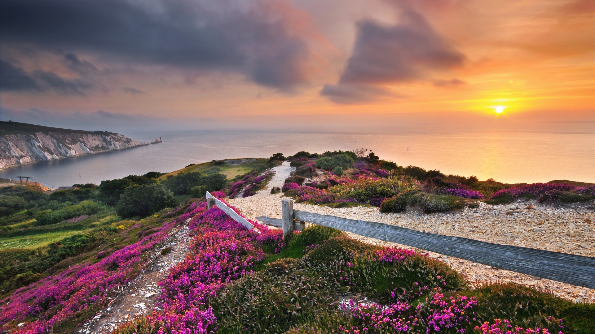
Pub Walks
ON THE ISLE OF WIGHT
Is there anything better than a romp through beautiful countryside followed by a pitstop at the village pub?
We think not! And luckily for you, the Isle of Wight boasts over 500 miles of trails and pathways to discover, as well as an abundance of country pubs and coastal inns to enjoy along the way.
Whether you’re strolling out on a balmy summer’s day, seeking out a fresh seafood platter with views of the sea, or crunching across the red leafy carpet of autumn in search of a delicious roast by a crackling log fire – there’s a walk and a pub for you.
Here are five circular Isle of Wight pub walks to try.
RYDE TO SEAVIEW
A lovely flat coastal stroll
Distance: 3 miles each way
Pubs: The Boat House, The Old Fort
From Appley Beach to the village of Seaview, this flat walk by the sea is great for families with prams, kids on bikes and wheelchairs with wide flat paths to follow. There is access to sandy beaches along the way, a large playpark at Puckpool and pubs The Boat House at Puckpool and The Old Fort at Seaview.
Directions:
- Park at Appley Car Park in Ryde overlooking Appley beach.
- Walk down the hill to start your walk from Appley Café.
- Ryde Pier should be behind you as you head right along the main coastal path towards Appley Tower and onto Puckpool.
- Take the wide flat top path, the lower sea wall or walk on the beach and wet sand when the tide is low. Dogs are permitted on the beach year-round past the tower.
- At Puckpool, detour to the playpark through the old military barracks or continue the coastal path until you reach ‘The Boathouse’ – all paths lead to the same place.
- Stop at the pub for a sit and a tipple or continue until you reach Salterns Road.
- Here you can head straight along the narrow and uneven seawall overlooking the beach, or turn right onto Salterns road, then left and along to arrive in the same place – Seaview Village.
- With the boat makers on your left walk towards the sea and The Old Fort pub for a tasty lunch and idyllic views of the water.
- Once fed and watered, simply head back the way you came.
THE BUDDLE TO ST CATHERINE’S LIGHTHOUSE
A short but steep stomp south
Distance: 2 miles
Pub: The Buddle Inn
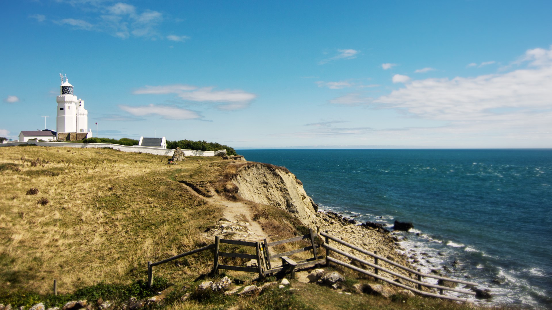
A leg burning walk perfect for working up an appetite. Explore ancient pastureland on the most southerly point of the Island, before a hearty lunch at one of the Island’s oldest pubs. Pathways are uneven and can be muddy, and remember, what goes down, must come back up!
Directions:
- Park at The Buddle Inn car park, remembering to check the menu for a bit of motivation on this hilly stroll.
- To go direct to the lighthouse, simply follow ‘St Catherine’s Road’ all the way down and back up again. For those looking to go off road, read on!
- Take the stairs (NT43) alongside the carpark down to Castlehaven Lane and turn right.
- Join footpath NT40 and march across the rugged landscape towards the lighthouse and St Catherine’s Road.
- Walk down the road towards the landmark before taking the stairs over the wall to your left and join cliff path NT38 towards Castlehaven.
- Follow a diverted path around the field and back up towards the way you came. Pick up path NT40 back to Castlehaven Lane.
- From here, you can follow the lane all the way to the top, turning left at the road until you reach The Buddle Inn. Or, you can climb the stairs back to where you started at the car park - muddy boots and dogs are very welcome at the pub, with a sunny terrace outside in summer and a roaring log fire in winter.
FRESHWATER BAY TO THE NEEDLES
A clifftop walk with spectacular views
Distance: 7.8 miles
Pub: The Highdown Inn
Expect leg burning climbs rewarded with panoramic views out to sea and across the Island. Tick off two major Island landmarks along the way, Tennyson Monument and the Needles Lighthouse – this is a more challenging route for keen adventurers.
Directions:
- Park at Freshwater Bay long stay car park opposite the beach, then head right towards the Albion Hotel.
- Turn left at the public WC on Gate Lane and join footpath (F46) and head for the bottom of the hill.
- Then, just keep following the trail to the top of Tennyson Down to the monument, a great spot to catch your breath and take in the views.
- Onwards from the Tennyson Monument, keep to the cliff path towards the most westerly point of the Island. You may encounter grazing cattle here.
- When you see a gate and a row of coast guard cottages, you’ve reached The Needles Old Battery. Walk down to the viewing platform for a better view of the landmark.
- Then, follow the winding road back down toward Alum Bay and the Needles Landmark Attraction – here you’ll find another viewing platform and a chairlift down to the beach.
- Join footpath T23 into Alum Bay Chine and T22 back out again to arrive at Headon Warren – a beautiful sandstone hillside covered in heather and gorse with views out to sea.
- Take footpath T17 across Headon Warren and past an ancient burial ground, then T16 down to Alum Bay Old Road – crossing the road, head left and join footpath T26 back towards Tennyson.
- At the top of the path, you’re back on the Tennyson Trail. Turn left towards a gate and footpath T24 to Highdown Lane and The Highdown pub for a well-deserved rest.
- After lunch, walk back to the top of the lane and continue on T24 towards Freshwater without diversion until you reach Gate Lane.
- Turn right at the road and back towards the beach and the car park.
THE RIVER YAR
Ideal to avoid steep climbs
Distance: 4.5 miles
Pub: The Wheatsheaf Inn
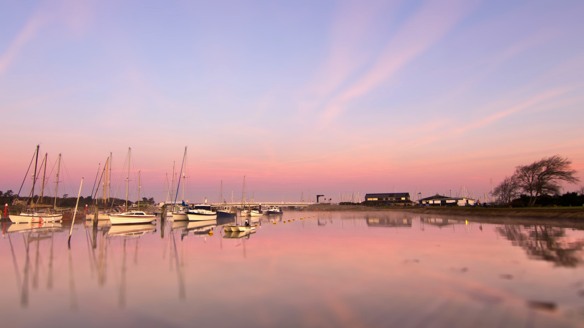
This West Wight walk follows the River Yar in a circular route, starting from the historic town of Yarmouth.
Directions:
- From Yarmouth, head for the former railway line that is now home to Off The Rails. This is one of many lunch options along the route, with the others including The Wheatsheaf Inn and The Bugle in Yarmouth itself or The Red Lion in Freshwater (via a small detour).
- Continue along the railway line until you reach The Causeway at Freshwater.
- Cross the Causeway and pick up the public footpath on the other side of the river.
- Head north along this path until you reach the outskirts of Yarmouth.
- When you arrive at the main road, cross via the swing bridge to return to Yarmouth for a well deserved pub lunch!
THE RIVER MEDINA
A scenic loop in the North Wight
Distance: 9 miles
Pub: The Bargeman's Rest
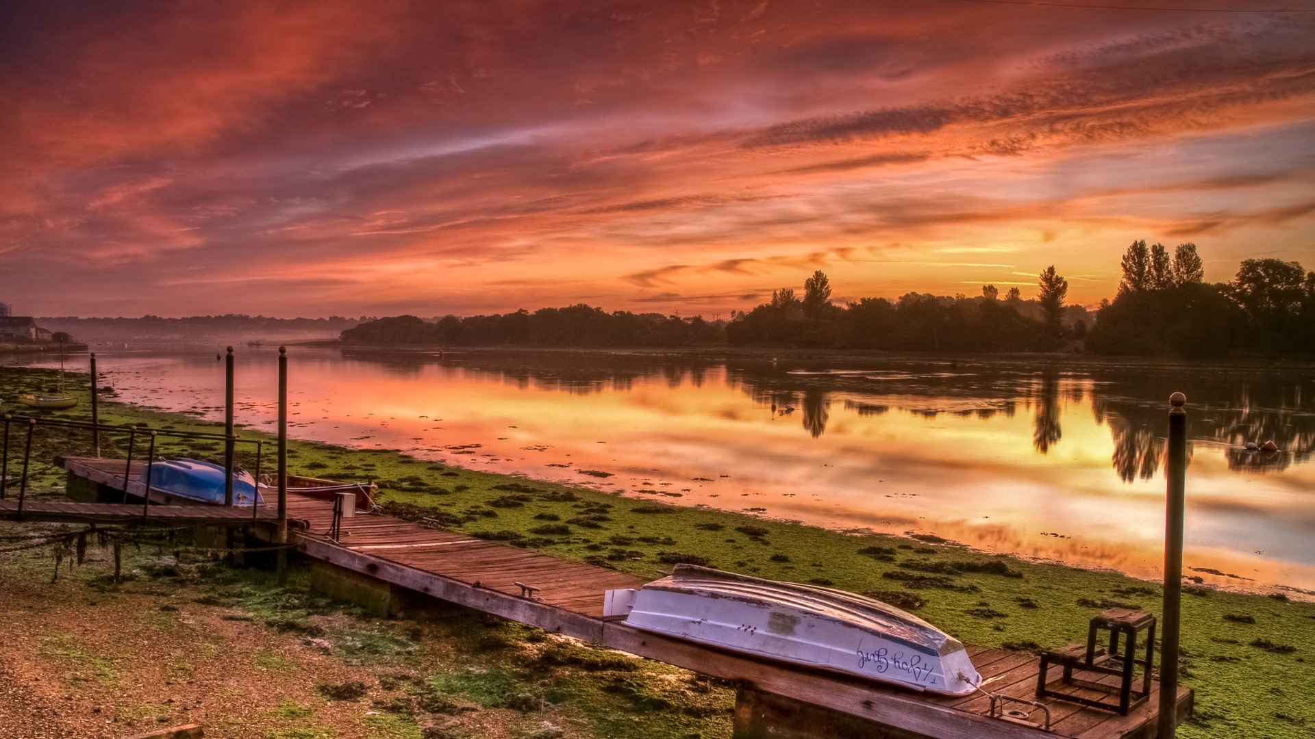
Our final walk covers the North Wight, beginning in the lively sailing town of Cowes.
Directions:
- Make your way to the start of the former railway line on Arctic Road that leads towards Newport.
- This flat and smooth route is popular with walkers and cyclists and can also be completed by children on scooters.
- The track follows the River Medina, which separates East Cowes from Cowes.
- When you arrive in Newport, treat yourself to lunch at the Bargeman's Rest. This casual pub is a perfect spot on a sunny day with views over the river.
- For the return journey, cross over the river and follow the footpath that leads towards The Folly Inn.
- As you leave the Folly Inn, join the main road and walk into East Cowes via Osborne. This magnificent estate was Queen Victoria's home for many years and is a fascinating visit for history fans.
- To return to Cowes, catch the chain ferry on Ferry Road.
For more Island inspiration, see our Explore section.
Find Ways To Save.
Book your ferry travel to the Isle of Wight today!